


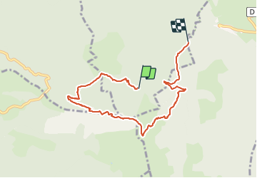

10.2 km | 17.1 km-effort


User


FREE GPS app for hiking
 SityTrail
IGN / Geographical institutes
SityTrail World
The world is yours!
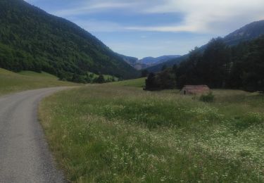
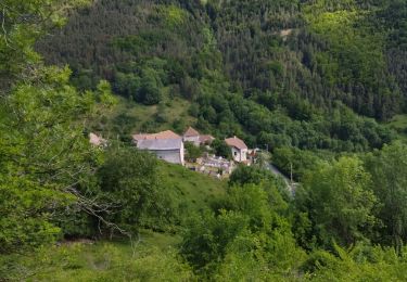
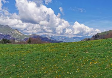
Trail Walking of 7.8 km to be discovered at Auvergne-Rhône-Alpes, Isère, Le Monestier-du-Percy. This trail is proposed by RD78-38.
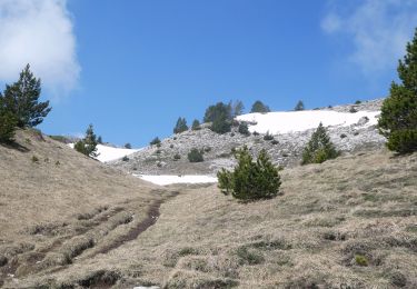
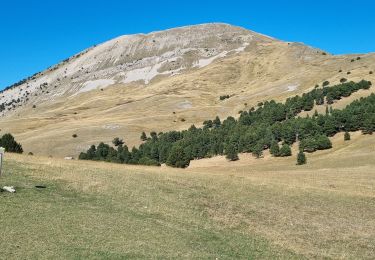
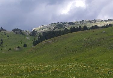
Très beau panorama à 360 degrés au sommet,dernière partie un peu raide sino montée tranquille.
Walking

Walking

Walking
Walking

Walking
Walking
Walking
Walking
Walking